- Homepage
- https://trails.todonnell.us
- GitHub Repository
- none
- Description
- Hiker's tool to aid in route planning around the globe
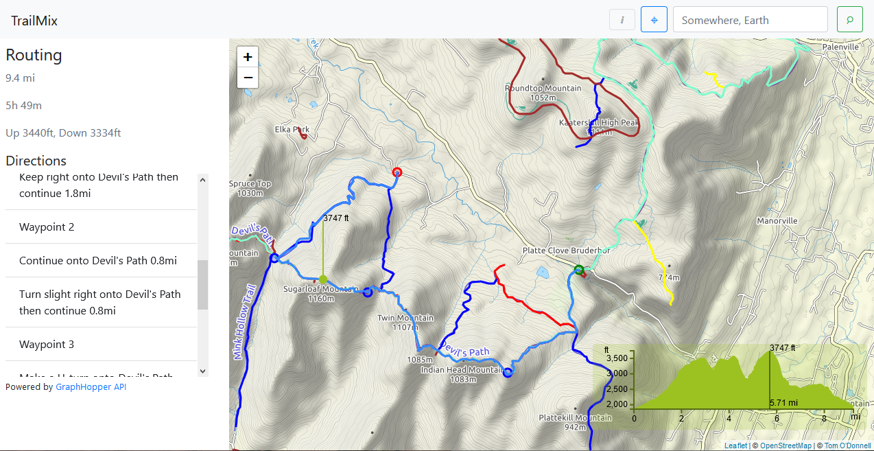
As a hiker, I find myself looking through various paper maps to plan my trips. It’s good to have a paper map on your person during the hike, but sometimes they are only available in the area you are travelling to. I noticed that OpenStreetMap, a project similar to Wikipedia but for mapping, had good information regarding hiking trails in parks in my area. But they were not easily accessible to the layman. So I took this data, organized relevant information in a database, they layered parks over a map. After scoping in to a park, the trails are highlighted. Users can right-click at points on the map to add waypoints and get information on that route. Beside showing the distance the user-selected route covers, it also shows an elevation chart.
